gocatshill logo

Walks and Sights

Subject finder
GoCatshill - Walks
Welcome to GoCatshill. This volunteer-run community website does not use advertising, tracking or analytics cookies.

Web pages accessed from this page are outside of our control and are opened at the users risk.

Worcestershire wildlife trust logo

Save Our Countryside

button with link to the 'Save our countryside' website

Organisations

Lickey End Striders

Walking Club

komoot

(Hiking)

Run Catshill

Running Group

Bromsgrove District Council

Local Walks List

Worcestershire Wildlife Trust

Exploring Woods, Walking, Butterflies, Birdwatching

Royal Hunters Walks

Royal Hunters Walks
(County Council website)

Hedgelayers Walk (5 miles)

Chartists Walk (8 miles)

Foresters Walk (12 miles)

Alltrails

Alltrails Bromsgrove

Local Walks

Beaconwood & Winsel

Bluebell Walk

Chaddesley Woods

Dodford Circular

Round Hill Wood

Monarchs Way

Pepper Wood

Wildmoor Oak - Fairfield Circular

Solo Walkers and Hikers

Aimed at people who love walking and hiking but maybe don't have anybody to go out and do it with. Meet people in the same boat aged 30-50 living in North Worcestershire

Public Footpaths

click to open the Worcestershire County Council interactive map A map-like image of North Bromsgrove with approximate locations of public footpaths marked in red
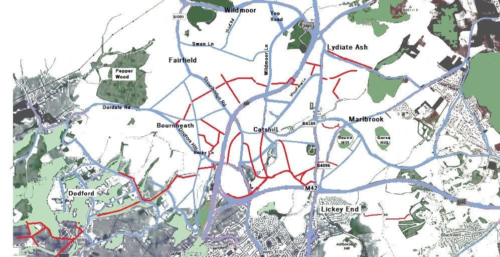
County Council Page for Public Right of Way

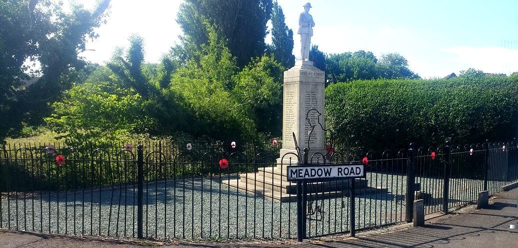
Memorial Garden

image of the Catshill memorial garden

Your Walk pics

Send your photo by eMail, message or facebook or upload